Inspections
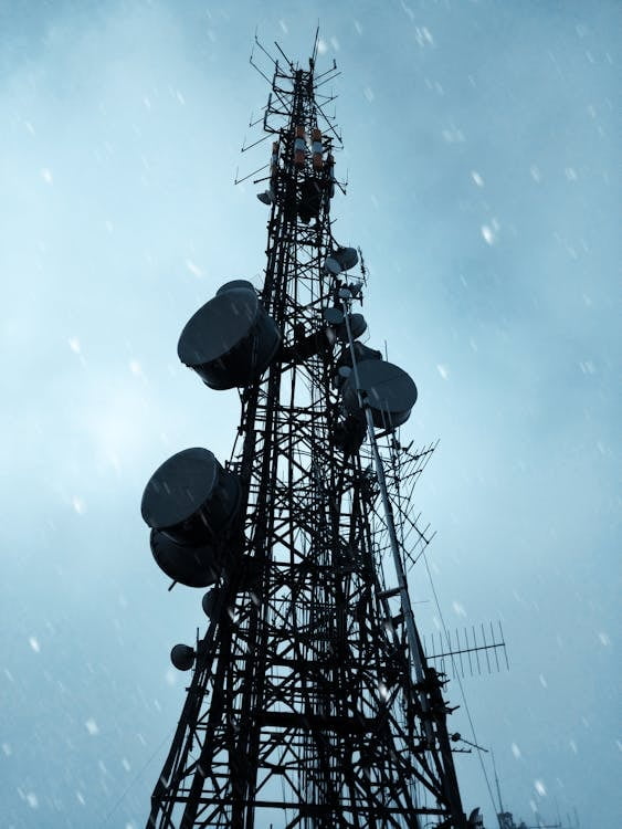
Harnessing the power of drone technology, we offer comprehensive inspection services for infrastructure, utilities, buildings, and more. Our drones can access hard-to-reach and high-risk areas, providing high-definition imagery and data to facilitate accurate assessments while minimizing risk to personnel.
Mapping
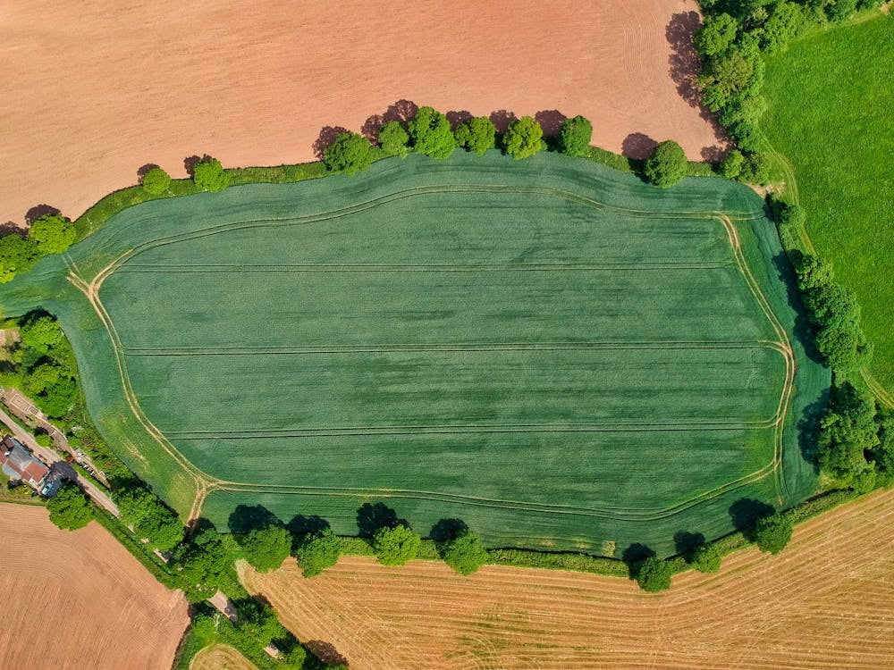
Unlock valuable insights with our advanced mapping solutions. Using state-of-the-art drones equipped with cutting-edge sensors, we capture detailed aerial imagery to generate 2D maps, 3D models, and point clouds. Whether you require land surveys, site planning, volumetric calculations, or asset management, our mapping services provide the clarity and precision you need.
Thermal Imaging
Harnessing the latest advancements in thermal imaging technology, our drones offer a unique perspective that unveils the invisible world of heat signatures. From detecting structural anomalies to monitoring environmental changes, our thermal imaging solutions provide invaluable insights that drive smarter decisions and enhance operational efficiency.
Construction Progress Tracking
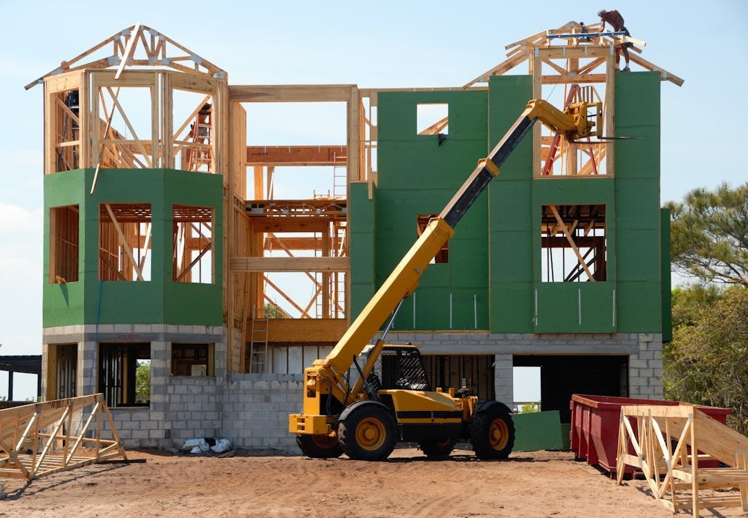
Stay informed and in control with our construction progress update services. Our drones capture real-time aerial footage and imagery, allowing project managers and property owners to monitor site progress, identify potential issues, and make data-driven decisions to keep projects on track and within budget.
Agriculture
Agriculture
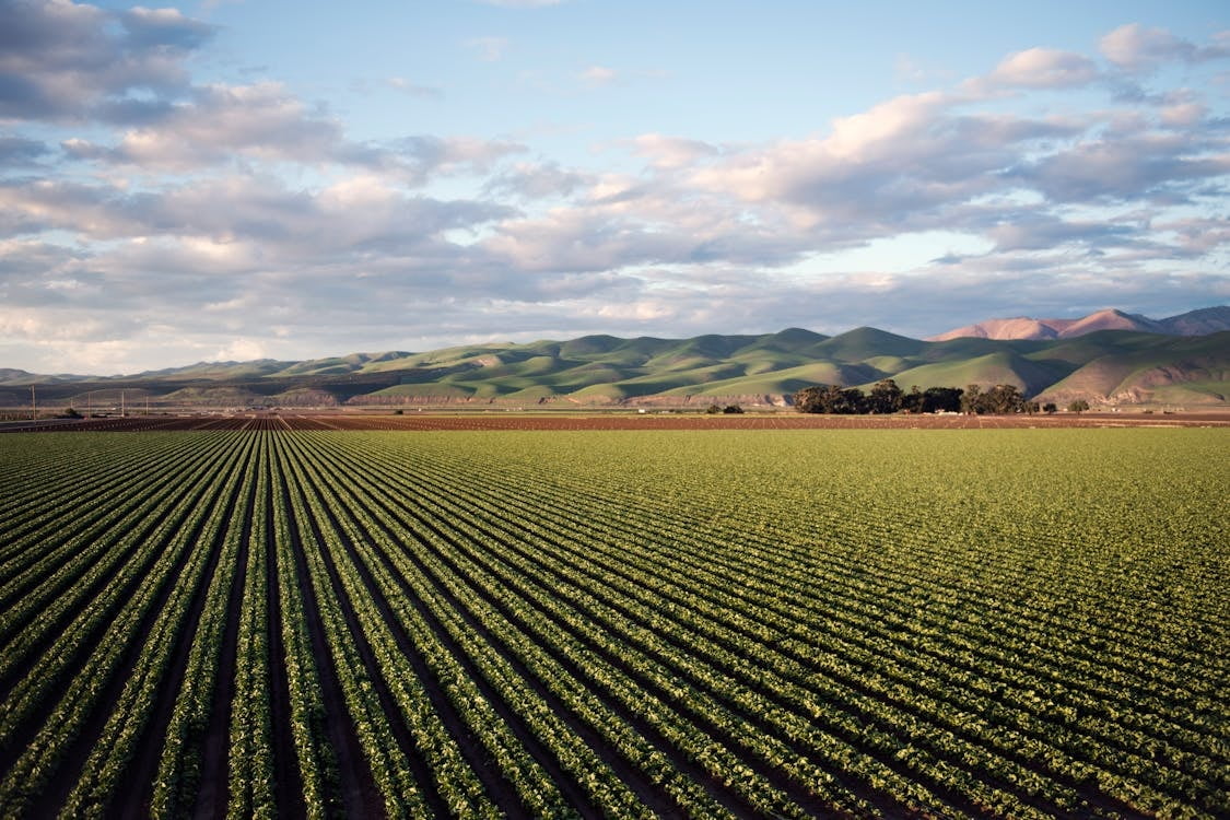
Optimize crop management and increase yields with our tailored agricultural drone services. From precision spraying to crop health assessments, our drones provide farmers with valuable insights to enhance productivity and sustainability. By leveraging aerial imagery and data analytics, we help farmers make informed decisions to maximize their harvests while minimizing environmental impact.
Search & Rescue, Wildfires
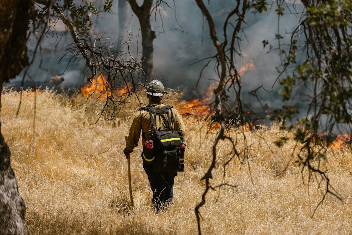
Our fleet of advanced drones, equipped with state-of-the-art thermal imaging and high-definition cameras, enables us to cover vast terrains with unparalleled precision and speed. Whether it's locating missing individuals in remote wilderness areas or detecting hotspots in rapidly spreading wildfires, our drones are equipped to handle the most challenging environments with ease.
